How to read the table
Columns show the days, and rows show the conditions a climber will meet on the way. The forecast for the first three days is fairly reliable; from day 8 onwards it only shows the general trend.
- Freezing level: the altitude at which the air is at 0 °C. The upper figure is the day’s highest value and the lower figure the lowest. If it is red, there may be melting even at the summit; snow bridges and glacier crossings get weaker.
- Summit wind: the strongest hourly wind of the day. Above 40 km/h is yellow and above 60 km/h is red; at these speeds ridge and summit crossings become difficult and can be dangerous. The colours are a warning, not a hard limit. The value in the table is an hourly average; gusts can be stronger.
- Summit feels like: the lowest feels-like temperature, calculated with the wind chill formula. Check this value for the risk of frostbite.
Cloud base
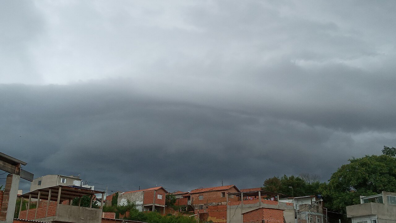
The cloud base is the lowest altitude at which cloud begins. It is calculated from the relative humidity in different layers of the atmosphere: the first altitude above the model surface where humidity reaches 95% is taken as the cloud base. This is an approximate estimate from model data, and the real cloud base may differ by a few hundred metres. The table shows the lowest base during daytime hours (06–18) and the number of cloudy hours. If the base is below the summit, the value is marked in yellow: part of the climb may be in cloud. “None” means no cloud is expected during the day.
Important: this is an estimate. The model layers are a few hundred metres apart and may not fully capture local clouds that the mountain creates itself (slope fog, afternoon cumulus build-ups).
Visibility
The Visibility row is the visibility the model calculates at the surface (at the model elevation given in the table); the lowest daytime value is shown in kilometres. Below 5 km is yellow and below 1 km red.
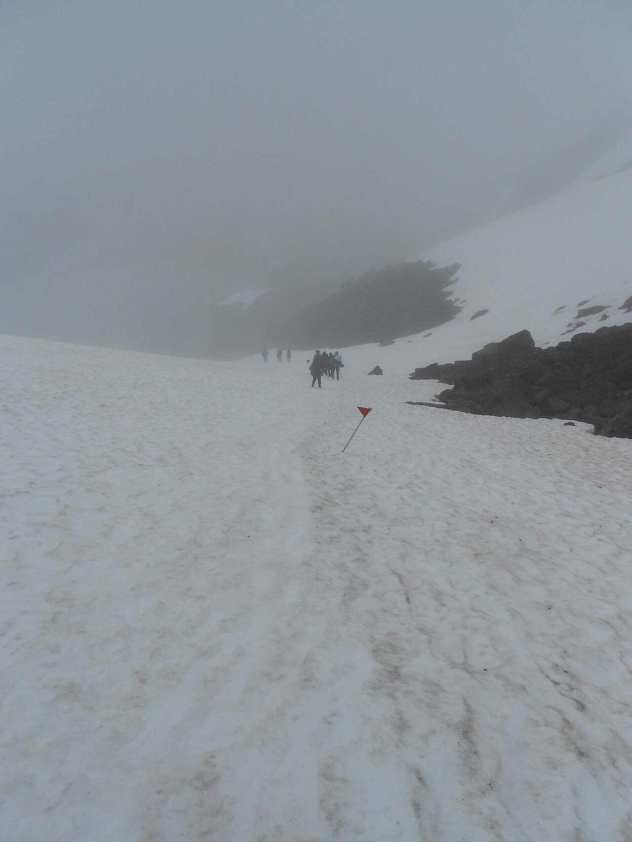
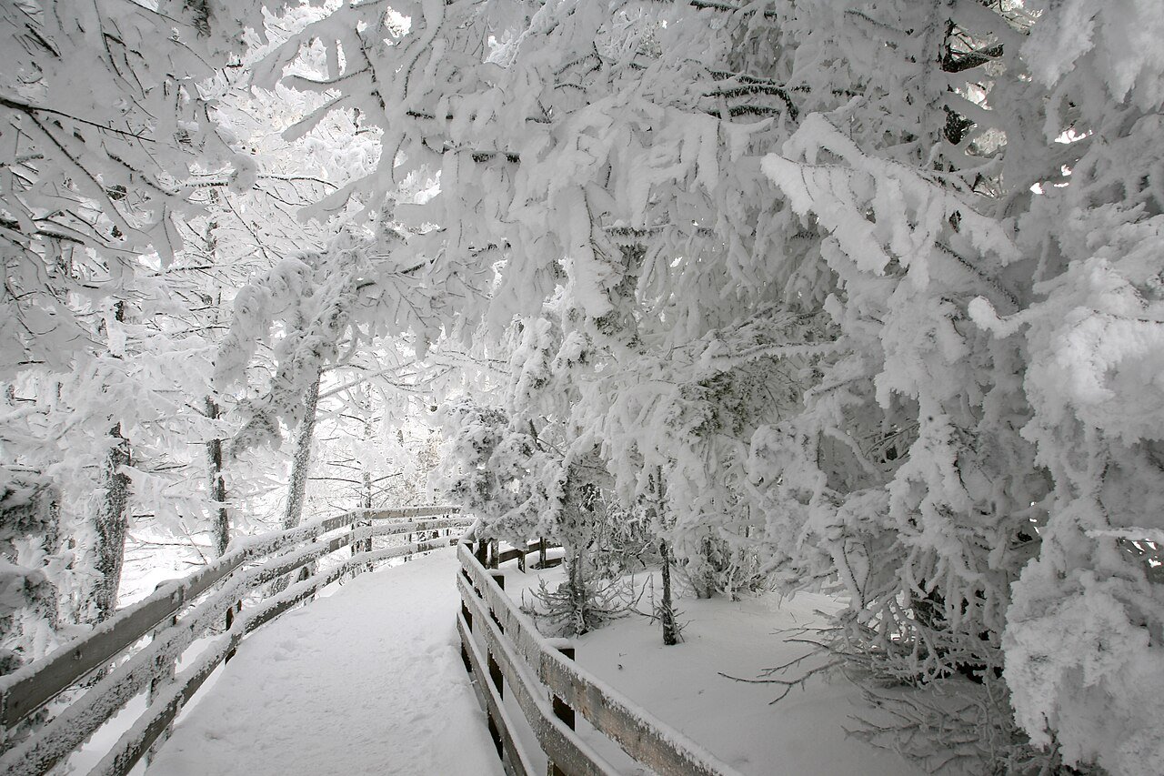
No direct visibility forecast is published for the summit and intermediate altitudes. So the Visibility by altitude section shows how much of the daytime each altitude will spend in cloud. Inside cloud, visibility often drops below 1 km, and below 100 m in thick cloud; finding your way gets hard and a whiteout can develop.
- Good: that altitude is out of cloud for most of the daytime.
- Variable: it may be in cloud for a few hours during the day.
- <1 km: more than half of the daytime is spent in cloud.